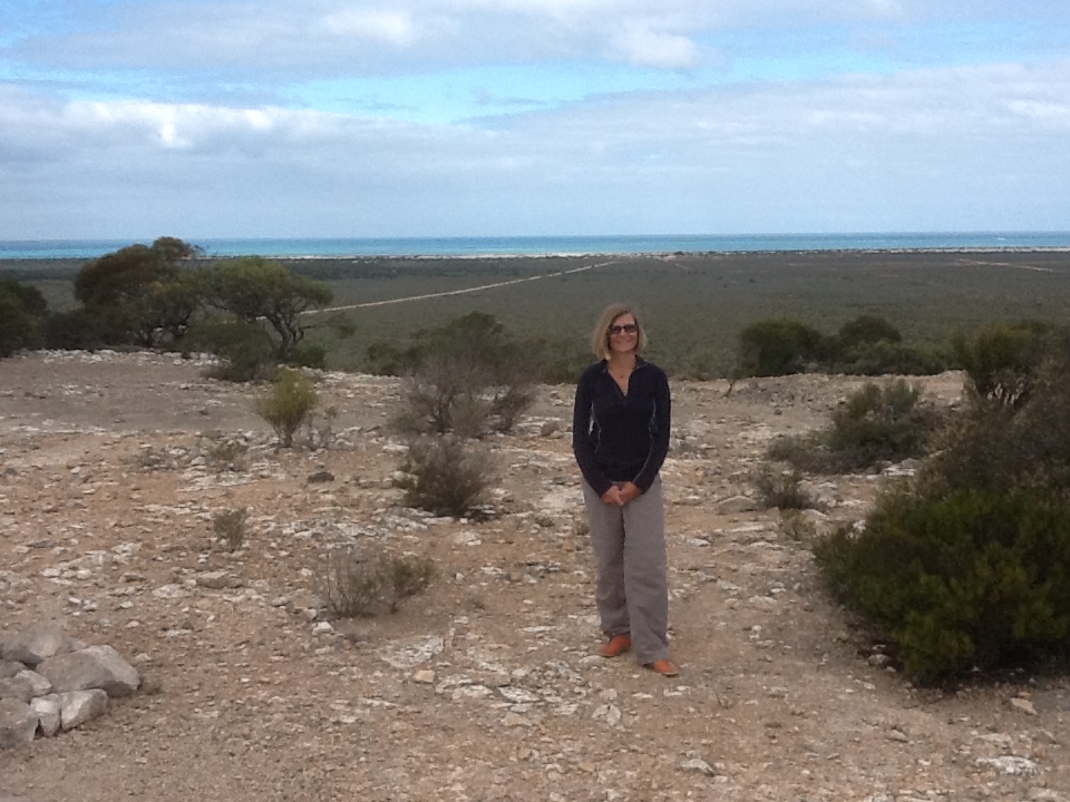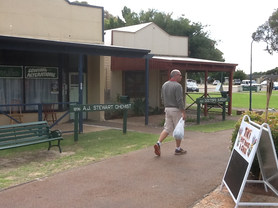
On Monday we left Murray Bridge, making our way south 360km to Mt Gambier. This drive took us through rolling green hills and farming communities, as well as the significant wine growing regions of Padthaway and Coonawarra. The Padthaway region is 62km long and 8km wide, and is home to a number of large commercial vineyards – Seppelts, Wynns, Penfold, Lindeman’s and Hardy’s, and of course the Coonawarra, established in the 1890s, and today, home to over 130 vineyards. We are a little over wineries (if there is such a thing!) so we didn’t stop and sample. Instead we headed to Mt Gambier so that we could explore and enjoy this SA city which is famous for its craters, lakes, caves and sinkholes, and of course its beautifully restored historic buildings. We stayed the night close to the side of the striking Blue Lake (the source of the city’s water supply)which is in an extinct crater. When we walked around the lake in bright sunlight, it was a brilliant indigo blue, and later in the day in lower sunlight it was silver grey with wildlife enjoying a late afternoon dip.
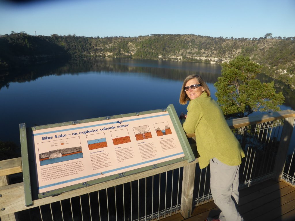
Overlooking the Blue Lake
From Mt Gambier we crossed the border to Victoria and our next stopover, the most liveable town in the world (so they say), Port Fairy. Now this is truly a picture postcard town, with its spectacular coastline, quaint harbour in the Moyne River, and 19th century historic buildings and cottages mixed in with galleries and eateries.
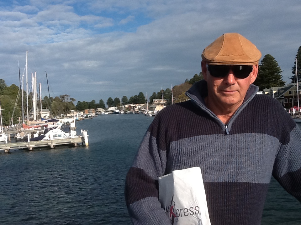
On the foot bridge looking down the river port
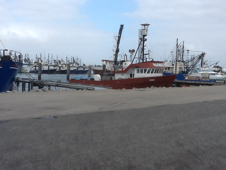
Historically whalers and seal hunters were based here. Walking around town is quite a treat and we could see why in summer the beaches are full and fishermen flock along the coast to enjoy the fantastic fishing. We enjoyed a lovely sunny afternoon walk around Griffiths Island which is just off the mouth of the river and connected to the mainland by a causeway. This is where whaling was based, and because of the rugged coastline, a now historic lighthouse was built in 1859. And interestingly this is Australia’s only home of the Short Tailed Shearwater or Mutton Bird as many of us know them, with over 100,000 burrows. Its the wrong time of year though to see them, and all we saw were carcasses, which is apparently quite natural. The birds are here from September to April/early May, so we just missed out. When we walked back along the river and port we were amazed at the number of leisure fishing boats out for the day as it was a work day, and the scale and volume of fish caught and being fileted and cleaned. Huge tuna and lots of other fish.
Keep feeding me, I’m so happy and contented with my life!
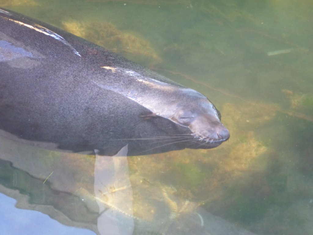
We were drawn to a major splashing in the water nearby the fishermen and were gobsmacked to see a massive sea lion cruising lazily under the wharf, waiting for carcasses to be thrown in. Now isn’t that cheating, but oh so smart! It kept us amused for some time.
Whilst at Port Fairy we took a 30km drive to Warrnambool in the 4×4. This is where we start our Great Ocean Road journey. Warrnambool is one of Victoria’s fasting growing regional cities, historically a major port during the 1850s gold rush, having first been settled in the 1840s. It is another very attractive sizeable coastal city, with picturesque and very natural beaches and rugged coastline, the scene of many of shipwreck. There are many beautifully restored buildings and homes, a fantastic maritime museum and a significant 30 acre city side adventure park alongside Lake Pertobe. We enjoyed a leisurely walk along the promenade, which tracks the foreshore from the harbour breakwater to Logans Beach, the main city beach.
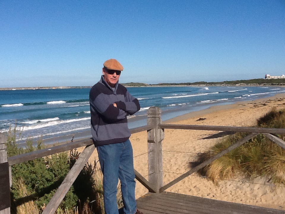
On the Promenade and the town beach looking around to the harbour breakwater
On our return trip back to Port Fairy we stopped off at Tower Hill Reserve, which is set in a 30,000 year old dormant volcano. Amazingly aboriginal artefacts have been found here, predating the eruption. The Reserve features a lake, wetlands and many walking tracks, and is home to emus, koala, sugar gliders and water birds. It’s always gratifying to see wildlife in their natural environment, roaming freely and respected by visitors.
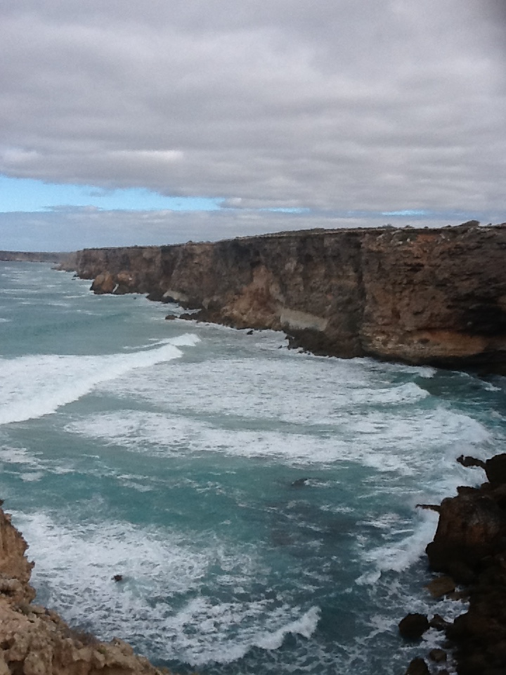
We said farewell to Port Fairy and embarked on our Great Ocean Road venture on Thursday. Being a week day, traffic was light and once we got to the coast at Peterborough we were able to start enjoying this magnificent coastal splendour. The limestone cliffs are sculptured through thousands of years of erosion and unless you’ve seen them you would seriously question the sanity of so many driving and walking so far to peer over the edge and ooh and aah at the natural beauty. There are bridges, caves and tunnels, vertical cracks and stacks of rocks, breathtaking beaches hammered by pounding seas, and of course the famous 12 Apostles, of which only 7 now stand because of erosion as a result of the dynamic power of the sea.

The Apostles
We parked wherever we could, and walked and walked, enjoying this coastal spectacle. After the Apostles we continued on to Apollo Bay our next stop, weaving our way through windy and very hilly roads, enjoying the drive through rain forests and farmland, venturing back to the coast again once we hit the Bay.
This is another small coastal town surrounded by rain forests, a number of waterfalls and rivers. We’ve had a leisurely time here, deciding this will be our base until Monday when we hit the road again to finish the Great Ocean Road and start our journey north. We’re based just out of town by the beach, where we listen to the surf pounding the shore, and look out to sea. We’ve walked and walked, ridden the bike around town, and been bush. Yesterday was an inland day, climbing high into the hills behind the Bay, then inland to cross the Turtons Track, an incredibly windy narrow road through magnificent rain forest to the Otway Fly and Treetop Walk in the Great Otway National Park. It was sunny and pleasant on the coast, but up in the rainforest it was….yep, wet and cold. But what a walk. It is 25m above ground, reaching almost 75m when you are up on the tower with the tallest rainforest trees, 300 year old mountain ash and myrtle beach, looking down on the forest floor, with its ferns, mosses and scrub. And then there’s the cantilever, 33m up gently swinging in the breeze. An experience not to be missed. Unfortunately the Fly was out – it was all booked up for the day. Now that would have been fun! Instead it was off to what some say are Victoria’s best falls, the Triplet Falls.
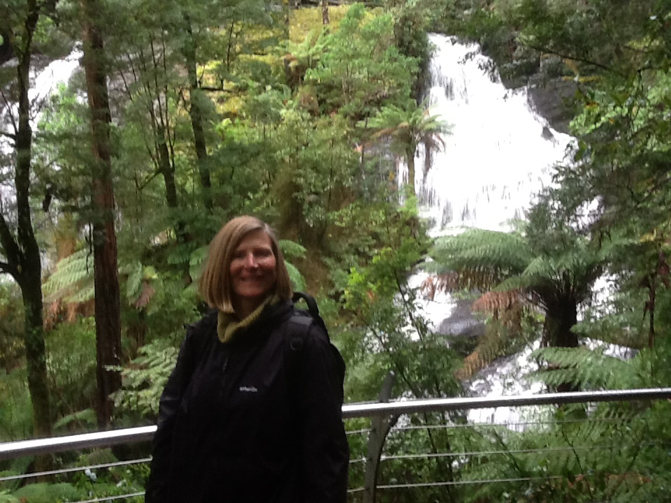
Two of the Triplet Falls on a wet winter day
This is a 1.8km walk through the rain forest, down a large number of steps to visit the Falls, which are quite lovely and flowing well. There are a number of viewing platforms and if you are really lucky, you get to see the very shy platypus. Alas, yesterday was not one of those days. And as they say, what goes down must go up, so up it is on the way back around the circular loop.
The weather isn’t too good, winter has definitely started and the good old Antarctic is throwing up some very cold conditions, wind and rain. Today is best described as inclement, so its one of those days destined for chores and catching up on the weekly blog. Tomorrow we head off to Torquay to see the famous Bells Beach, home of many an international surfing competition.